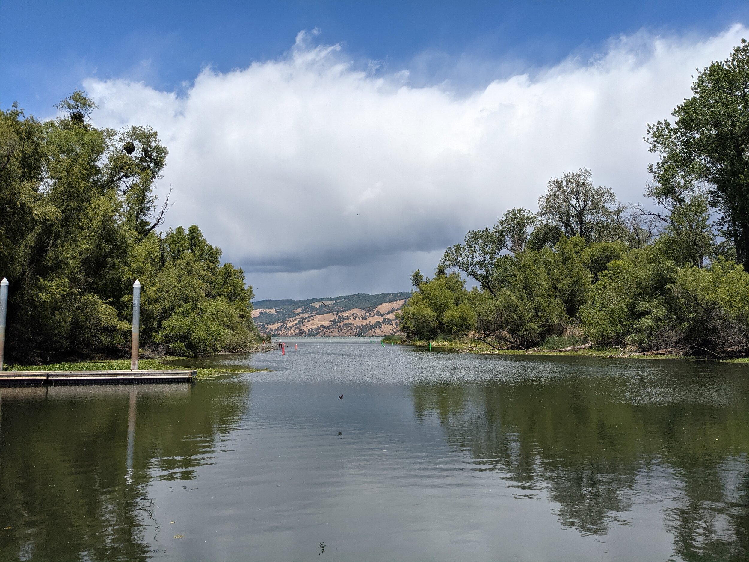
Clear Lake is located in the North Coast area of California, equally about two hours from San Francisco and Sacramento. The area has a semi-coastal Mediterranean climate, with hot, dry summers and chilly winters. Day to day weather here is extremely variable. Temperatures do get below freezing here during the winter, but it rarely snows at lake level and the lake itself never freezes.
Drought is an ongoing challenge here in Lake County, as it is in much of the west. Low water years can bring significant algae blooms and weed overgrowth to this eutrophic lake. Average annual precipitation is around 35 inches, but that number is skewed by heavy rainfall years. The recent moving average is closer to 15-20 inches.
Clear Lake is fed by numerous creeks, most notably Scotts Creek and Kelsey Creek. The lake’s only outflow is Cache Creek, which flows east all the way to Yolo County closely following Highway 20. A dam exists 5 miles downstream of Clear Lake that regulates outflow depending on flood level. The lake is considered full at 7.56 ft on the Rumsey gauge, and is considered flooded at 9.00 ft. In a normal summer, Clear Lake will lose approximately 3 ft Rumsey from evaporation and draw down.
The record low water level is -3.39 ft Rumsey, which occurred in 1977. The record high water level is 13.66 ft Rumsey, taken in 1890.
Useful Links:
Current Water Level (Rumsey gauge)
Current Streamflow (Cache Creek)
Cache Creek Dam Flow Information
Historical Clear Lake Water Levels (back to 1873, with annual rainfall numbers)
Clear Lake Algae/Cyanobacteria Monitoring Page (only updated in Summer months)
Lake County Invasive Mussel Program & Boat Stickers
Northern California Observed Precipitation Map
Climate Toolbox Historical Water Watcher
Clear Lake Webcam - Buckingham Peak (looking SE)
Clear Lake Webcam - Mount Konocti (looking NW)
Weather West (great blog on California’s weather and climate)

